Header Images
This page provides some background information about the header images for this website. Much of my current work pertains to urbanization. One of the small pleasures in this line of work is the chance to enjoy the visual appeal of maps.
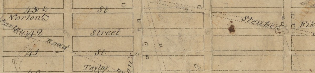
The image above shows the part of the map for the 1811 Commissioner’s Plan for New York City that includes 42nd St, running from 9th Ave on the left past 5th on the right. Because the plan illustrated by this map called for 42nd Street to be 100 feet wide instead of the 60 foot width specified for the nearby streets, it was indeed wider when the street was actually build many decades later. When this map was drawn, this part of the island was farm land. The map shows the locations of the few existing buildings, and in faint outlines, the existing Norton’s Road in the lower left corner, Steuben Road in the upper right, and in the center, just off of vertical, Broadway. The width of 42nd Street shows that something as simple as a plan drawn on paper can sometimes exert a big influence across the decades. But sometimes things do not go according to plan. It called for the obliteration of all the existing roads, and of course, Broadway survived.
The full map is available here from the New York Public Library.
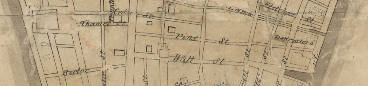
This second image shows Wall St from lower Manhattan, also from the map of the 1811 plan. When the map was drawn, Wall St had already been built. Today, this street, the symbol for the modern capitalist system, is an embarrassment. It is as narrow today as it was then, far too small for vehicles and pedestrians. It’s neighbor, Pine St. is even more strikingly unpleasant. Use these Google street view links to compare these streets with 42nd.
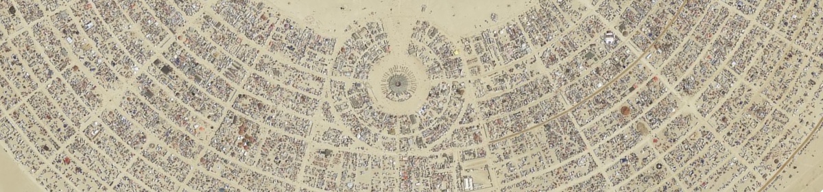
This is an aerial photograph of the Burning Man camp from 2015. It was a temporary city that grew to a population of about 70,000 people over the course of a few days.
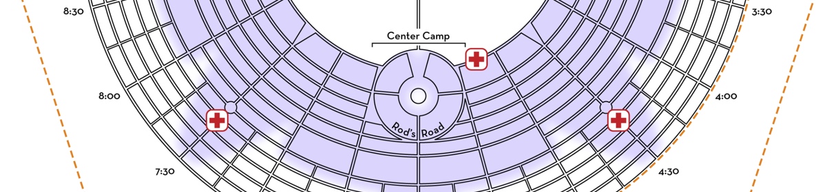
On a slightly different scale, this image shows the plan that organizers prepared for the public space and camping space for the camp.
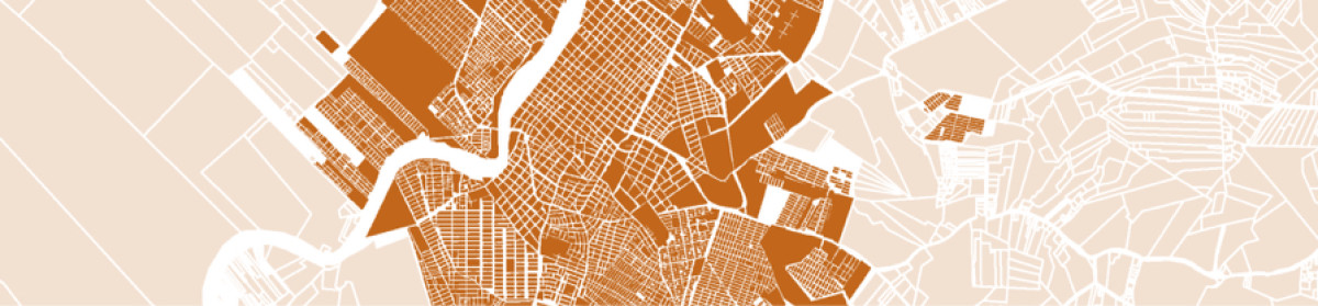
This map shows the layout of Monteria in Colombia and the outlines for the parcels of undeveloped land that surround the city. See this post for information about the work that NYU’s urban expansion initiative have been doing in Monteria and Valledupar.
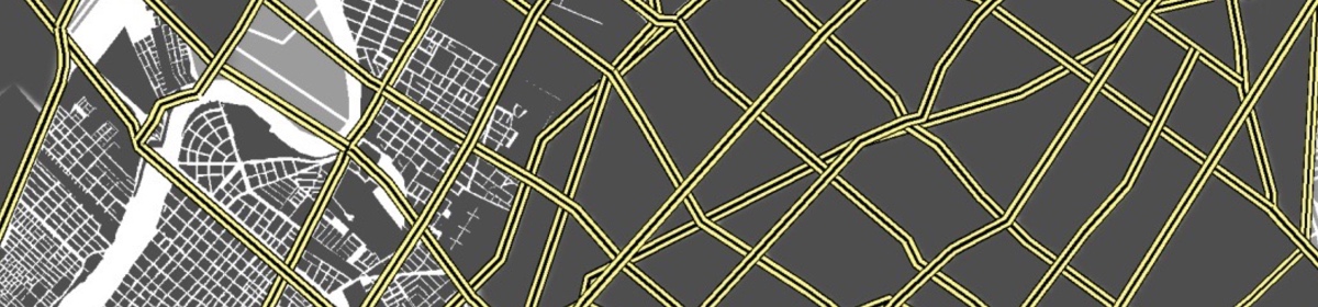
This image shows another bend in the river that runs through Monteria and the grid of arterial roads that the NYU Urban Expansion initiative helped the city prepare for its expansion area.